/
A circular walk from the village hall via Foremark, Anchor Church Caves, Ingleby and Knowle Hill. Start/Parking: Ticknall Village Hall.Distance: 6.25 miles.Terrain: Moderate.Refreshments: The Wheel Inn, Ticknall; John Thompson Inn, Ingleby.Pubs: Ticknall (3), and Ingleby (1).Public transport: Derby to Swadlincote Bus Service 69.Maps: Landranger 128 Derby and Burton; Explorer 245 – National Forest.
/
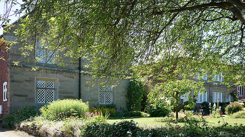
The Trail starts from the car park at Ticknall Village Hall [35]. The Village Hall was built in 1992 and is, with its gardens, a credit to such a small village. It may be convenient to break the walk into two parts or to cut it short where indicated along the road to Ashby de
/
There are so many alternative routes in the area around Ticknall that it is not easy to decide which particular route to take. Those visiting Ticknall for the first time may wish to just enjoy learning about the village by following the Ticknall Trail. Visitors who are new to the Ticknall area may wish to
/
This Ticknall walk is from the publication “South Derbyshire Walks” by Melbourne Civic Society (2011). Start/Parking: Ticknall Village Hall.Distance: 6.25 miles.Terrain: Easy.Refreshments: Village Shop Ticknall.Pubs: Ticknall (3), and Milton (1).Public transport: Derby to Swadlincote Bus Service 69.Maps: Landranger 128 Derby and Burton; Explorer 245 – National Forest. Park at the Ticknall Village Hall (A) car

Routes